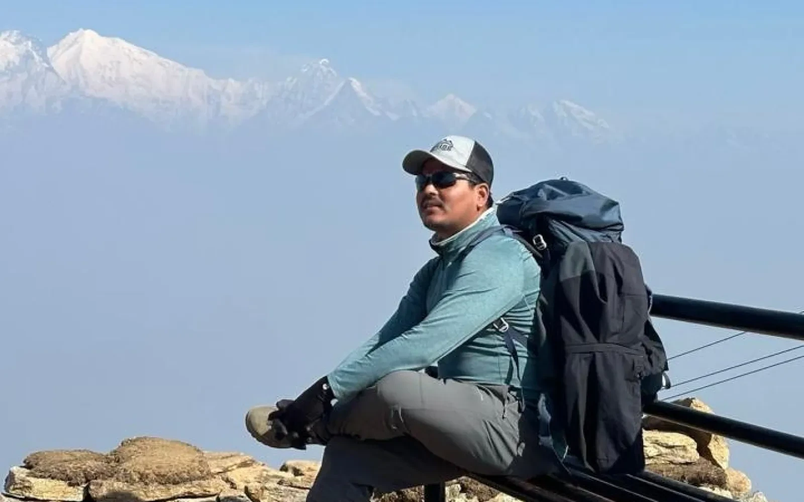
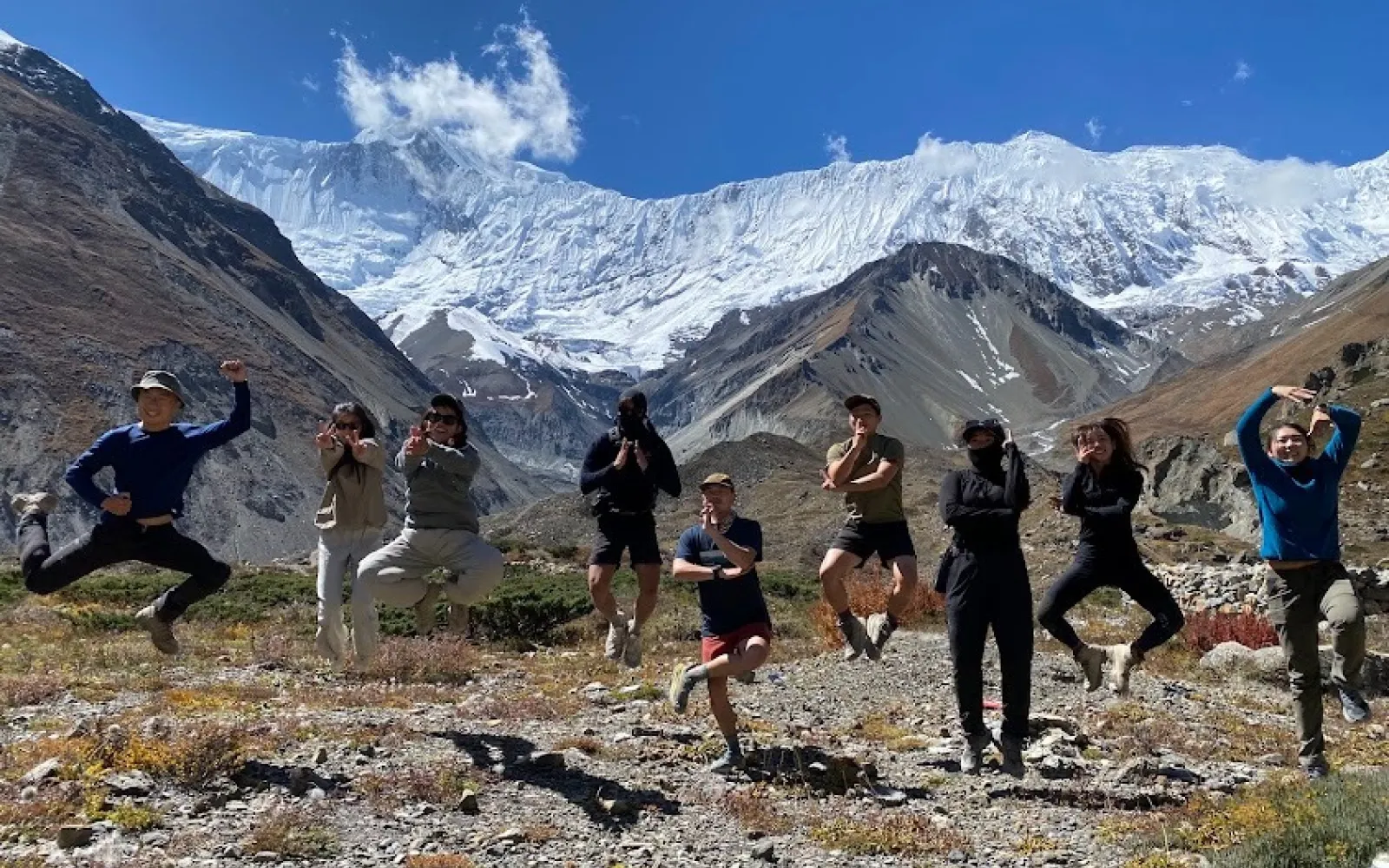
Look, this isn't your average stroll in the park. Adding the Tilicho Lake detour to the classic Annapurna Circuit transforms a standard route into a lung-busting, knee-grinding beast of a trek. Why do it? Because it’s arguably the most spectacular detour in the Himalayas. You leave the dusty main trail behind, trading it for sheer scree slopes and blindingly blue glacial waters. Expect brutal altitude jumps, sketchy landslide zones, and wind that bites right through your down jacket. But honestly, when you finally drag yourself over Thorong La with Roving Nepal Trek, the sheer bragging rights make every blister absolutely worth it.
Technically, you're already days into your Annapurna hike by the time you reach Manang. It sits at a breathless 3,519 meters. So, the "start" of this specific, punishing detour kicks off right from those ancient, stone-paved alleys. You don't just wake up and teleport here, right? Most folks spend a solid acclimatization day drinking yak butter tea and exploring Gangapurna glacier before committing to the western fork. That said, hitting the trail out of Manang feels like hitting the reset button. The crowds thin out instantly. Just you, maybe a couple of stubborn yaks, and the towering mountain walls closing in.
Forget everything you thought you knew about the main circuit. Branching off from Manang toward Khangsar, the path instantly gets wilder, rougher, and infinitely more beautiful. You're hiking alongside the roaring Marsyangdi river, but the valley suddenly chokes up. It’s narrow. The rock formations look like half-melted sandcastles. Now, getting to Tilicho Base Camp takes a solid two days of walking, and the last stretch? Absolute madness. You've got to scurry across these notorious landslide areas where the gravel practically slides out from under your boots. Still, the jagged snow peaks hanging right over your shoulder will keep your jaw dragging on the dirt.
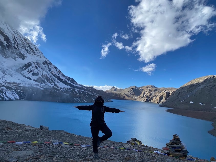
Sitting up there at 4,919 meters. Let that sink in for a second. The air is practically a rumor at this altitude. They call it the highest lake in the world for its size, which sounds like marketing fluff until you're actually shivering on its shores. The water is an unnatural, hyper-saturated turquoise. Honestly, it looks photoshopped. When the wind dies down, the giant icy faces of Tilicho Peak reflect perfectly on the surface. But here's the catch. It’s freezing. Almost always. You hike up completely drenched in sweat, only to get slammed by a wall of sub-zero wind rolling right off the glacier.
It’s a gut check. Leaving base camp in the pitch black before dawn, your headlamp barely cuts through the freezing mist. The trail zigzags aggressively up a punishing moraine, and your lungs will probably scream for mercy after ten minutes. It’s a relentless incline. Then comes the false summit. You think you're there, but nope, just another soul-crushing hill waiting. That said, as the sun slowly bleeds over the mountain ridges, casting these long purple shadows, you kind of forget the pain. Just tread carefully on the icy switchbacks. One wrong step and you're taking a very fast, very uncomfortable ride back down.
Are you slightly crazy? If so, Mesokanto La might tempt you. It’s a gnarly, technical pass that completely bypasses Thorong La, dropping you straight into Jomsom. But look, it requires heavy alpine gear, tent camping, and serious navigational chops. Most people—smart people—just turn around. Retracing your steps from Tilicho Lake back down to Shree Kharka is the standard play. It sounds boring to backtrack, right? Actually, walking the same sketchy landslide trail in reverse gives you entirely different mountain angles. Plus, you get a hot shower faster. With Roving Nepal Trek, we usually push the standard route just to keep everyone in one piece.
This is where you merge back with the masses. After you survive the Tilicho side quest, dropping back down to Shree Kharka and hooking left toward Yak Kharka feels oddly comforting. The trail widens up. Suddenly, you're seeing people in clean clothes again. Yak Kharka sits at roughly 4,000 meters, which feels surprisingly manageable after freezing your tail off at Tilicho. Besides, this stretch is mostly a gentle, rolling traverse past dusty scrublands and—you guessed it—herds of shaggy yaks. The energy shifts here. Everyone is buzzing about Thorong La. You can practically taste the nervous anticipation hovering in the dining halls at night.
Short but incredibly brutal. We’re only talking a few hours of walking, but every step is a battle against the thinning oxygen. You creep up the valley, crossing suspension bridges that swing wildly in the wind, before finally reaching Thorong Phedi at 4,450 meters. It’s basically a cluster of teahouses huddled under a massive, intimidating rock face. Honestly, the vibe here is tense. Trekkers are busy popping Diamox, nervously checking their gear, and trying to force down garlic soup. Phedi feels like the calm before the storm. You go to bed at 7 PM, but let’s be real, nobody actually sleeps a wink.
Welcome to the meat grinder. You wake up at 3 AM. It’s bitterly cold, pitch black, and your boots are probably frozen stiff. The climb to Thorong La (5,416m) is just an endless, grinding slog up a steep, icy staircase. Your brain gets fuzzy. Every ten steps, you have to stop and gasp like a fish out of water. But then you see them. Those ragged prayer flags violently whipping in the wind at the summit. Catching the sunrise from up there, surrounded by 360 degrees of jagged Himalayan peaks, absolutely ruins you for normal life. It’s the highest point you’ll ever stand on.
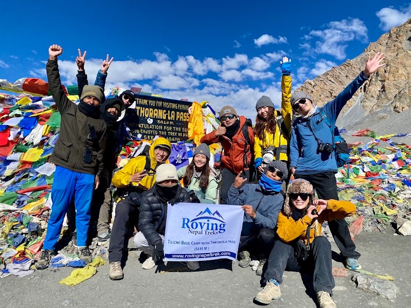
You made it up, great. Now comes the knee-destroying descent. Dropping 1,600 meters in a few hours is no joke, and your joints will definitely hate you for it. The trail plunges down steep, loose gravel slopes toward the Mustang region. The scenery shifts dramatically from blinding snow to a barren, desert-like plateau. Suddenly, Muktinath appears like a mirage. It’s a holy town, packed with Hindu and Buddhist pilgrims washing away their sins in freezing water spouts. The smell of burning juniper is everywhere. Best of all? You can finally order a decent plate of fries and a cold beer. You earned it.
Crunching the numbers might scare you. Manang to Tilicho Base Camp usually eats up two days, covering about 16 kilometers of tough terrain. The day trip up to the lake and back? Just 10 kilometers, but it’ll take you a grueling six hours. After returning to Shree Kharka, it's roughly 10 kilometers to Yak Kharka. Then another short, slow 7 kilometers to Thorong Phedi. Pass day is the beast. You're looking at a 15-kilometer slog that takes anywhere from 8 to 11 hours depending on how badly the altitude kicks your teeth in. Total mileage? Around 60 kilometers of pure, unadulterated suffering and glory.
This is a rollercoaster, and altitude sickness is the uninvited guest. You start at 3,519m in Manang. Jumping to Tilicho Base Camp at 4,150m is a solid bump, but the 4,919m lake will straight up punch you in the chest. That side trip is killer acclimatization, though. When you dip back to Yak Kharka (4,018m), your body feels surprisingly resilient. Then it’s a steady climb to Phedi (4,450m). Finally, the monster push to Thorong La (5,416m). You gain a massive 1,000 meters in a single morning. Then? A massive nosedive down to Muktinath at 3,800m. It’s aggressive, wild, and requires serious hydration.
Forget luxury. The higher you climb, the more basic things get. Manang has proper bakeries and coffee machines, but once you head toward Tilicho, you're sleeping in plywood rooms that offer zero insulation. The blankets are heavy, but you'll still need a zero-degree sleeping bag. Food-wise? Dal bhat is your best friend. It’s endless calories. The teahouses at Tilicho Base Camp and Thorong Phedi basically run a monopoly, so prices skyrocket and the menus shrink to macaroni, garlic soup, and fried potatoes. Honestly, you won't care. When you're burning 4,000 calories a day, even a stale chapati tastes like a Michelin-starred meal.
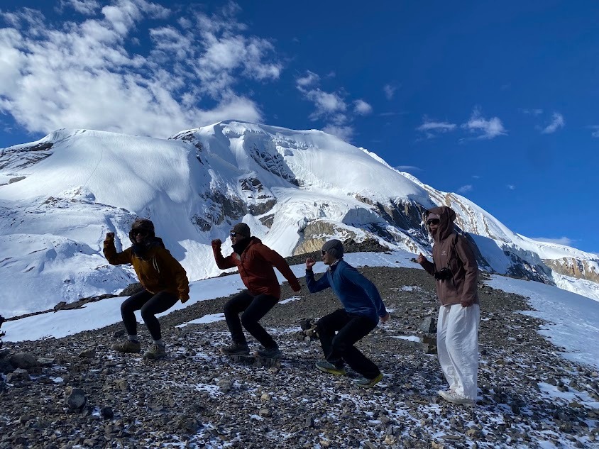
Timing is everything here. Mess it up, and you're wading through thigh-deep snow or staring at a wall of monsoon fog. October and November are the golden months. The skies are crystal clear, the air is crisp, and the views are absolutely ridiculous. But beware, it’s crowded. Spring, especially April to May, is your backup option. The rhododendrons are blooming lower down, but the pass can still hold sketchy ice patches. Trying this in winter? Absolute suicide. The avalanche risk on the Tilicho trail is just too high. Roving Nepal Trek strongly suggests sticking to the autumn window if you value your life.
You absolutely need your ACAP permit. Don't lose them, because the checkpoints are annoying. Now, about safety. The landslide zones near Tilicho are no joke. Stones fall without warning, so keep your head on a swivel and walk fast. Also, never screw around with altitude. If your head is pounding and you're vomiting, go down. Immediately. Having an experienced guide from Roving Nepal Trek isn't just about finding the path; it’s about having someone who can literally carry you down when things go sideways. The mountains don't care about your ego.
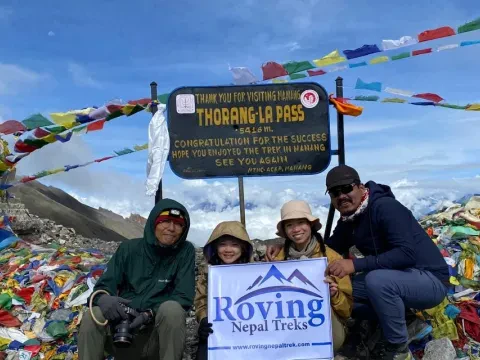
Thorong La Pass is one of the toughest spots when we talk about the Annapurna region. Often known as the toughest mountain to climb Mount Annapurna has uneven trails which tends to make the journey harder.
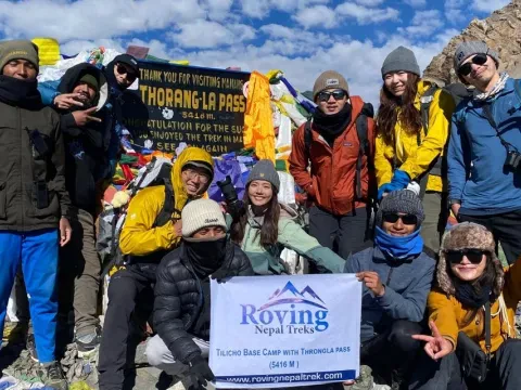
Annapurna Circuit Trek (ACT) costs between $800 and $1600.
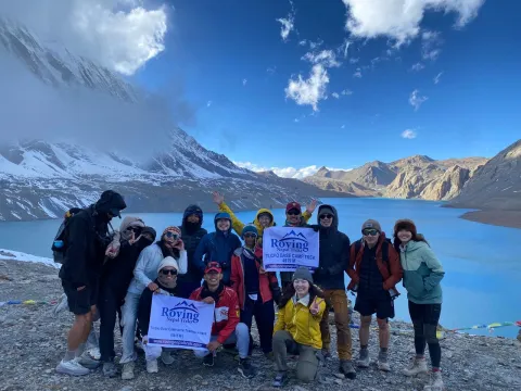
What makes the Annapurna Circuit Trek with Tilicho Lake special are not simply the mountains. It's the constant change. One week you're walking through green river valleys lined with pine forests and traditional villages. A few days later, you're crossing windswept high-altitude terrain that feels more like Tibet than Nepal. Then comes Tilicho Lake, a stunning turquoise body of water sitting at nearly 5,000 meters above sea level.