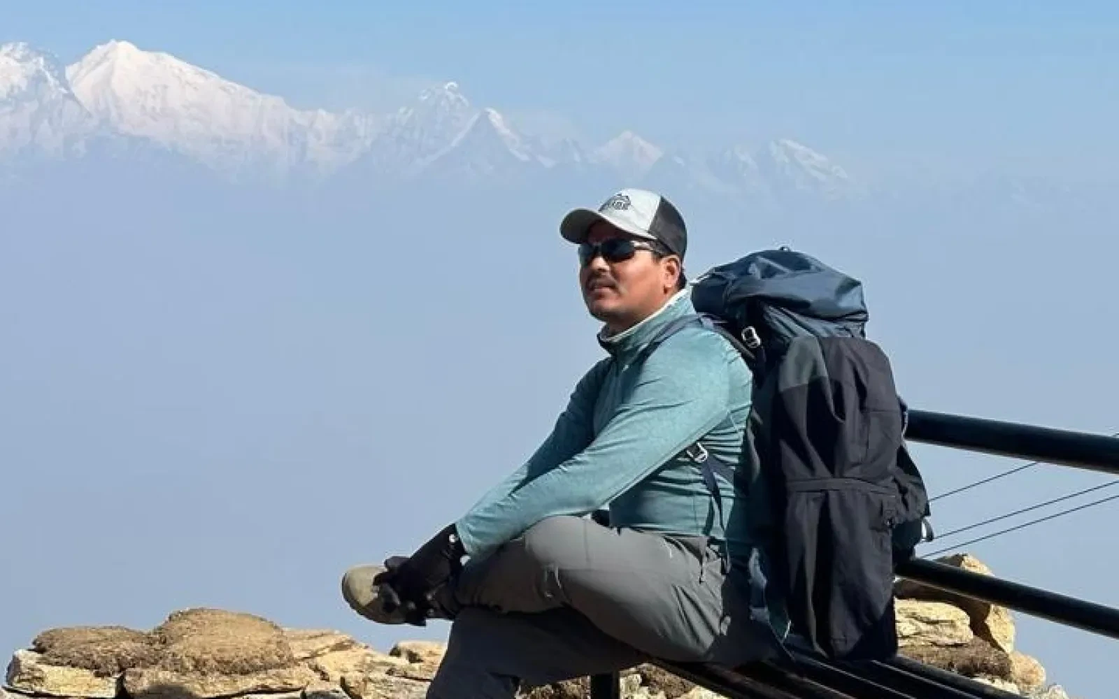
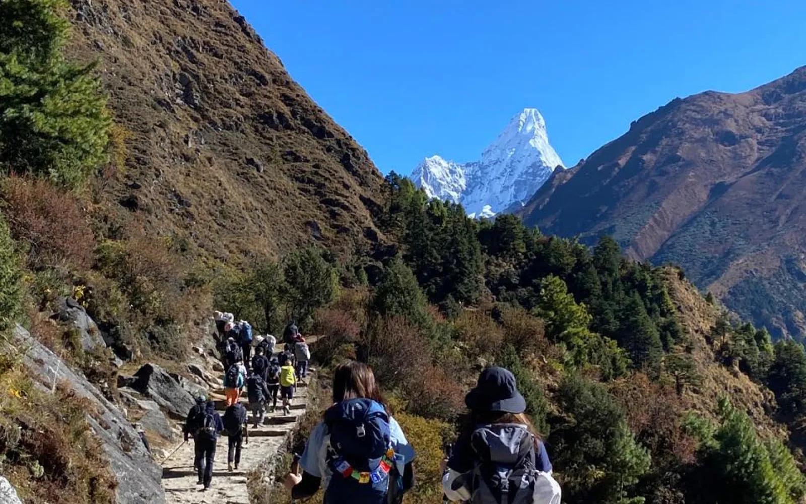
Trekking in Nepal during the summer monsoon (June through September) often gets a bad rap. Mention hiking in July, and most people immediately picture muddy trails, zero mountain views, and endless clouds of leeches. However there are many trekking routes where you can trek in Nepal even during this season. Today’s blog covers the Top 5 Monsoon Treks in Nepal.
While that is true for the southern slopes of the Himalayas, it misses one of Nepal’s best-kept travel secrets: the Himalayan Rain-Shadow.
The main Himalayan range acts as a massive topographic barrier. It blocks the moisture-heavy monsoon clouds blowing north from the Bay of Bengal. As a result, the valleys and high plateaus tucked behind these giant mountains receive almost no rain. While Kathmandu and Pokhara experience torrential downpours, these trans-Himalayan pockets stay dry, sunny, and clear.
If you are planning an off-season Himalayan adventure, here are the Top 5 Monsoon Treks in Nepal that offer dry trails, vibrant local cultures, and peaceful, crowd-free routes.
Tucked behind the massive Annapurna and Dhaulagiri massifs, Upper Mustang is the undisputed king of monsoon trekking in Nepal. Historically known as the Kingdom of Lo, this high-altitude desert is geographically part of the Tibetan Plateau.
Upper Mustang Overview
├── Max Elevation: 3,840m (Lo Manthang)
├── Average Rainfall: Very Low / Arid
├── Highlights: Ancient walled city, sky caves, Tibetan culture
└── Ideal Duration: 12 - 14 Days
Upper Mustang sits entirely within the rain shadow. Summer is actually one of the best times to visit because the high-altitude temperatures are warm and comfortable, and the glacial melt feeds pocket oases of green crops across the barren red canyon floors.
Highlights
| Feature | Detail |
|---|---|
| Max Elevation | 5,360m (Kang La Pass) |
| Difficulty Level | Strenuous / Expedition-Style |
| Key Attraction | Shey Phoksundo Lake & Shey Gompa |
| Duration | 18 - 24 Days |
Shielded by Dhaulagiri (8,167m), Upper Dolpo remains dry and stable while the lower hills receive monsoon rain. The alpine pastures burst into bloom during July and August, attracting local nomadic herders and their yaks.
Highlights
The Nar Phu Valley is a hidden gem branching off the classic Annapurna Circuit route. Reached by crossing high-altitude passes, these two stone-walled villages remained untouched by modern influence for centuries.
Why It Works in the Monsoon
Nar and Phu lie in a high, dry valley north of the Annapurna Massif. While the initial lower trail near Koto can be damp, the upper valley opens into a dry alpine landscape where you can trek comfortably through the summer months.
Highlights
While the southern approaches to Annapurna (like Annapurna Base Camp) receive heavy rainfall, the northern sector of the Annapurna Circuit sits squarely in the rain shadow.
Annapurna Northern Sector
├── Highlights: Manang village, Tilicho Lake, Thorong La Pass
├── Max Elevation: 5,416m (Thorong La Pass)
├── Scenery: Alpine valleys, dry pine forests, dramatic peaks
└── Duration: 7 - 10 Days (Shortened Route)
By taking a jeep directly to lower Manang (bypassing the wetter lowlands), you enter a rain-shadow region almost immediately. From Manang up to Thorong La and down into Muktinath, rainfall drops significantly.
Highlights
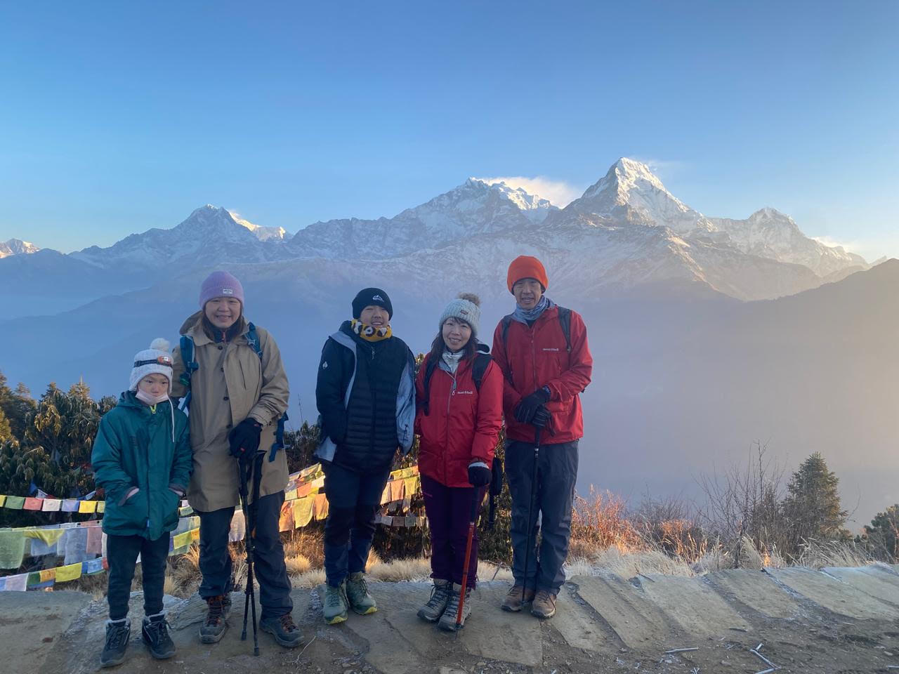
If you don't have the time or budget for high-altitude rain-shadow regions like Mustang or Dolpo, the Ghorepani Poon Hill Trek is the best low-altitude option during the monsoon.
Monsoon Travel Tip: On lower foothill treks, expect brief afternoon downpours. Plan your walking days early in the morning when skies are typically clear and the mountain views open up.
| Metric | Overview |
|---|---|
| Max Elevation | 3,210m (Poon Hill) |
| Trail Condition | Well-paved stone staircases |
| Best Feature | Emerald-green terraced fields & waterfalls |
| Duration | 4 - 5 Days |
Unlike remote wilderness routes, the Poon Hill trail consists largely of well-maintained stone steps rather than dirt paths, making it far less muddy. The hillsides turn brilliant shades of green, waterfalls cascade at full volume, and tea houses remain fully open.
Highlights
Trekking during the rainy season requires slightly different preparation than in autumn or spring. Make sure to pack the following items:
| Trek Name | Region | Max Altitude | Landscape Type | Permits Required |
|---|---|---|---|---|
| Upper Mustang | Mustang / Annapurna | 3,840m | High Desert / Canyons | Restricted Area Permit (RAP) + ACAP |
| Upper Dolpo | Dolpa / Western Nepal | 5,360m | Trans-Himalayan Plateau | RAP + Lower Dolpo Permit |
| Nar Phu Valley | North Annapurna | 5,322m | Alpine Valleys / Gorges | RAP + ACAP |
| Annapurna Circuit | Manang / Mustang | 5,416m | Dry Valleys / High Pass | ACAP + TIMS |
| Poon Hill | Lower Annapurna | 3,210m | Lush Forests / Villages | ACAP + TIMS |
By targeting rain-shadow regions or selecting paved, low-altitude routes, you can experience Nepal's stunning mountain culture and landscapes without battling constant downpours.
While long-distance classic circuits garner much of the spotlight, Nepal offers a diverse collection of short-to-mid-duration treks that provide incredible Himalayan mountain vistas, vibrant community cultures, and well-maintained teahouse routes.
Whether you are looking for a panoramic crest hike, an iconic base camp journey, or a quick scenic escape from Kathmandu, these 6 treks deliver unforgettable mountain experiences.
Tucked in the Annapurna Sanctuary region, the Mardi Himal Trek is a short, dramatic ridge hike that brings you directly face-to-face with the iconic Machhapuchhre (Fishtail Peak).
Mardi Himal Route Map
[Pokhara] ──► [Kande / Pitambar] ──► [Forest Camp] ──► [Low Camp]
│
▼
[Mardi High Camp (3,580m)] ◄── [View Point / Base Camp (4,500m)] ◄── [High Camp]
Key Details
Instead of walking through deep valleys, the majority of the Mardi Himal trail traverses high mountain ridges. You trek above the tree line with constant 360-degree views of Annapurna South, Hiunchuli, and Machhapuchhre. It is ideal for hikers wanting high-altitude panoramas without a long commitment.
Located in the lower Solukhumbu region, Pikey Peak (4,065m) offers one of the finest sunrise vantage points over Mount Everest and the surrounding Himalayan crest.
| Feature | Detail |
|---|---|
| Max Elevation | 4,065m (Pikey Peak Summit) |
| Duration | 5 – 7 Days |
| Trail Highlights | Sherpa & Tamang culture, ancient gompas, cheese factories |
| Views | Everest, Lhotse, Makalu, Kanchenjunga, Khenpajung |
Sir Edmund Hillary famously stated that the view of Everest from Pikey Peak was his personal favorite. Unlike higher Everest routes, Pikey Peak sits at a lower altitude, making altitude sickness less of a concern while offering broad multi-peak panoramic views.
The Khopra Ridge Trek is a quieter, off-the-beaten-path alternative in the Annapurna region that showcases high alpine pastures and deep valleys.
Khopra Ridge Highlights
├── Khopra Danda (3,660m): Ridge lodge facing Dhaulagiri & Annapurna
├── Khayer Lake (4,660m): Sacred high-altitude glacial lake side-trip
├── Swanta Village: Traditional Magar community homestays & local paper factories
└── Poon Hill Option: Easily connected to standard Ghorepani routes
Key Details
Khopra Danda sits directly across the valley from Dhaulagiri (8,167m)—the 7th highest mountain in the world—and Kali Gandaki, the world's deepest gorge. The lodges on the ridge are community-operated, meaning your stay directly benefits local schools and village development.
The Annapurna Base Camp Trek leads you straight into the heart of the Annapurna Sanctuary—a natural amphitheater surrounded by massive 7,000m and 8,000m peaks.
| Metric | Overview |
|---|---|
| Max Elevation | 4,130m (Annapurna Base Camp) |
| Duration | 7 – 10 Days |
| Difficulty | Moderate |
| Landscape | Bamboo cloud forests, river gorges, glacial basins |
Reaching ABC puts you at the base of Annapurna I (8,091m) with 360-degree wall-to-wall mountain views. The trail ascends through Gurung heritage villages (like Chomrong) and lush rhododendron forests before emerging into the high-alpine sanctuary.
5. Everest View Trek: The Short Khumbu Experience
If you want to experience the culture of the Khumbu region and view Mount Everest without the 12-day commitment to Base Camp, the Everest View Trek is an ideal option.
Key Details
Why Hike It?
This trek takes you through the Dudh Koshi river valley, across suspension bridges, and up to Namche Bazaar—the vibrant Sherpa capital. From Namche and the neighboring village of Khumjung, you enjoy clear views of Everest, Lhotse, and Ama Dablam before returning comfortably to Lukla.
Located right on the doorstep of the Kathmandu Valley, the Chisapani Nagarkot Trek is a short rim walk inside Shivapuri Nagarjun National Park.
| Feature | Detail |
|---|---|
| Max Elevation | 2,175m (Nagarkot) |
| Duration | 2 – 3 Days |
| Starting Point | Sundarijal (Kathmandu) |
| Key Attraction | Sunrise over the Himalayan range from Langtang to Everest |
Why Hike It?
It is the ultimate short trek for travelers with limited time. The route passes through oak and pine forests, quiet countryside villages, and terminates at Nagarkot—a hilltop town famous for panoramic sunrise views stretching across the central Himalayas.
| Trek Name | Region | Max Elevation | Primary Appeal | Duration |
|---|---|---|---|---|
| Mardi Himal | Annapurna | 4,500m | Close-up Fishtail peak views from high ridges | 4–5 Days |
| Pikey Peak | Solukhumbu | 4,065m | Panoramic Everest views from a lower altitude | 5–7 Days |
| Khopra Ridge | Annapurna | 3,660m | Off-the-beaten-path community lodges & sacred lakes | 6–8 Days |
| Annapurna Base Camp | Annapurna | 4,130m | 360-degree mountain amphitheater | 7–10 Days |
| Everest View | Khumbu | 3,880m | Sherpa culture & Everest views in under a week | 5–6 Days |
| Chisapani Nagarkot | Kathmandu Rim | 2,175m | Easy weekend walk with valley-rim panoramas | 2–3 Days |